Copyright ©2000-2011
The content of this site, including the
text and photographs, are the exclusive property of Steve Fredrick.
This means you are welcome to view and enjoy; however, you do NOT have
rights to copy, store, print, or republish any of the content without the
written permission of Steve Fredrick.
Let me know what you think about the site or the images. Send me an email .
Octoraro Creek Covered Bridges, Lancaster County
Note: The last two bridges on this page connect Chester County and Lancaster county. I've included a few images of each here but there are more on the Chester County pages: Mercer's Mill on Central Chester Country CBs and Pine Grove on Southern Chester County CBs.
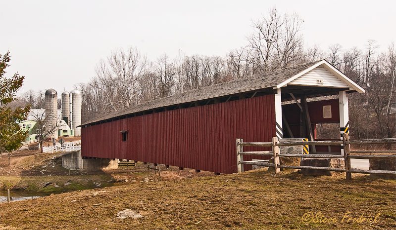
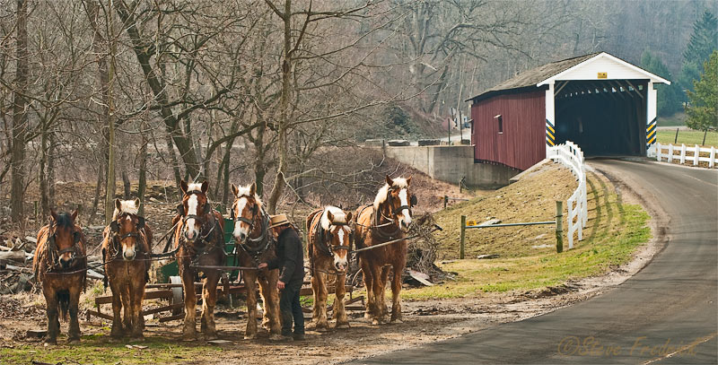
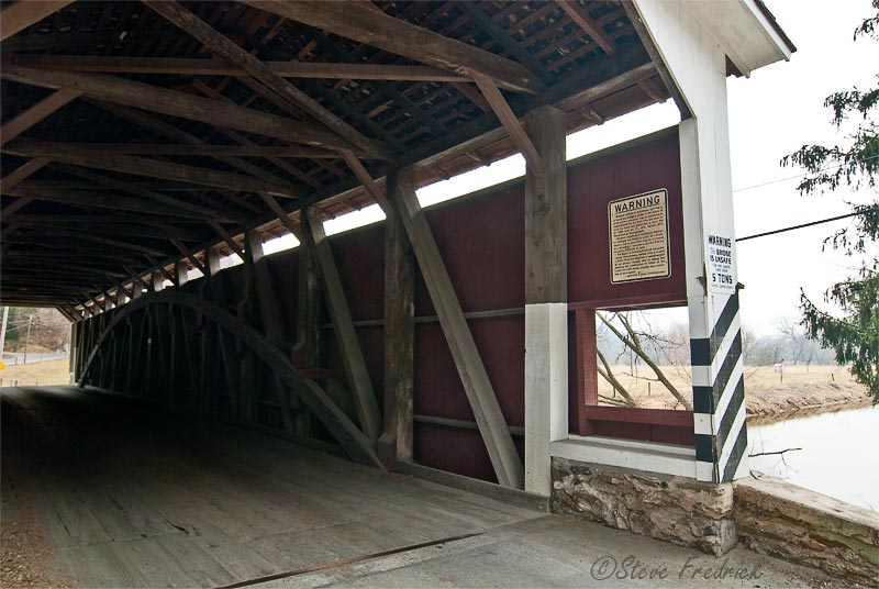
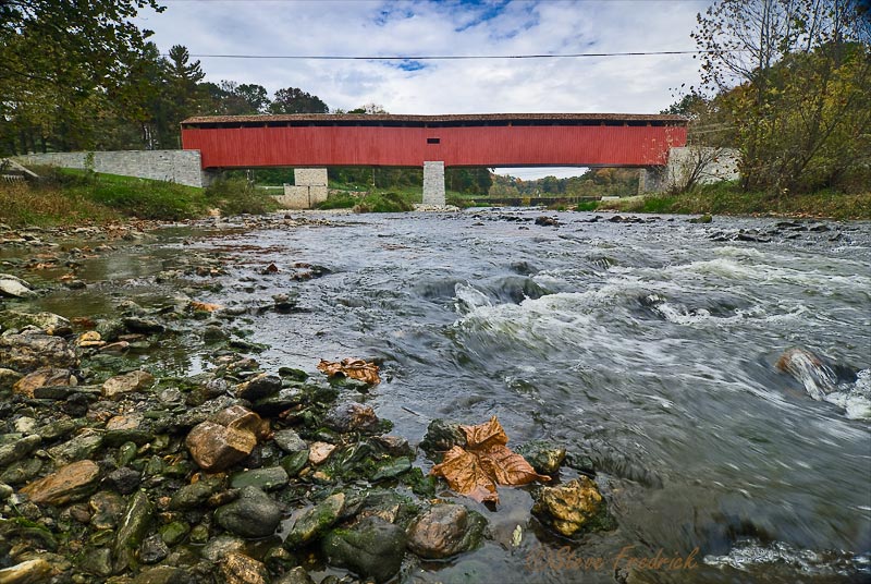
Jackson's Mill Covered Bridge
 |
 |
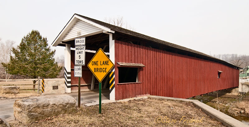 |
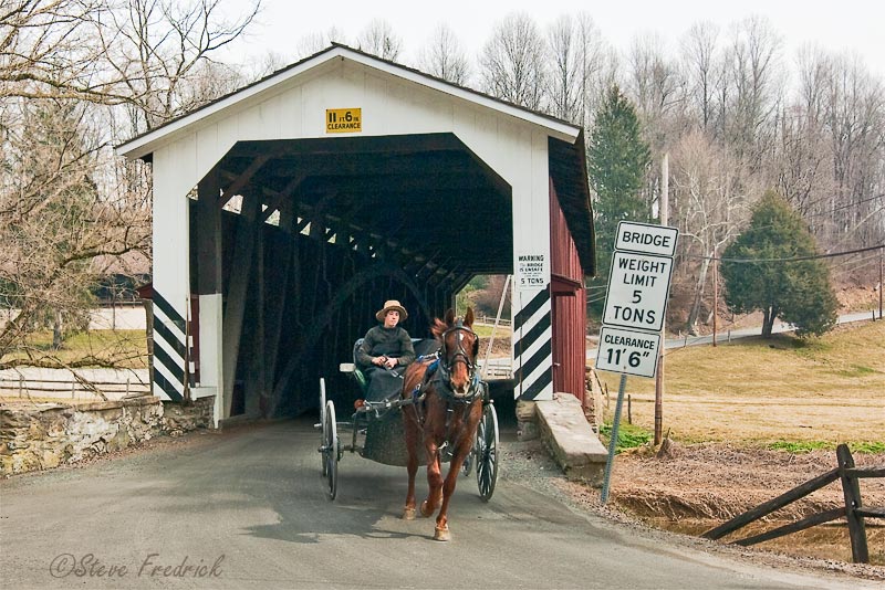
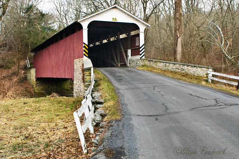
White Rock Covered Bridge
 |
 |
 |
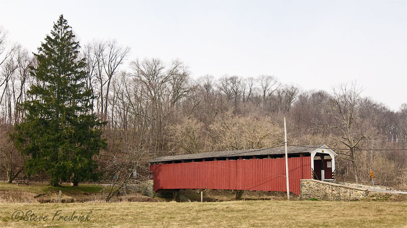
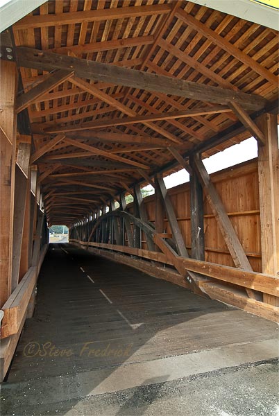
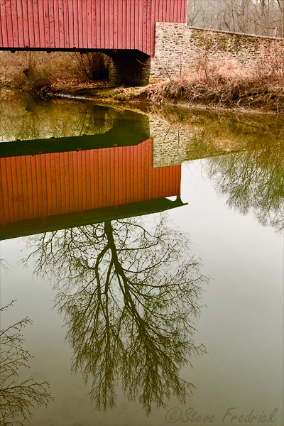
Pine Grove Covered Bridge
 |
 |
 |
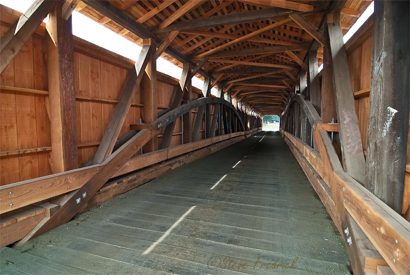
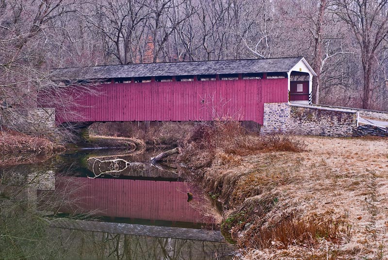
Mercers Mill Covered Bridge
 |
 |
 |
Back to Lancaster County Covered Bridge Page
Back to the main Covered Bridge Page
To the other bridges in Lancaster County:
| Jackson's Mill | 39° 53.780N | 76° 04.819W |
| White Rock | 39° 49.504N | 76° 05.385W |
| Pine Grove | 39° 47.589N | 76° 02.624W |
| Mercers Mill | 39° 55.879N | 75° 58.864W |